


Payson Arizona & Rim Country Photo Gallery
Updated by AZ Leisure Staff Writers on
Explore photographs of Payson, Arizona and the surrounding Rim Country, including mountain, forest and high-country scenery near the Mogollon Rim and Strawberry. This gallery highlights the landscapes and outdoor character that make the Payson area one of central Arizona's most popular recreation and getaway destinations.
Payson sits at approximately 5,000 feet elevation near the base of the Mogollon Rim and is surrounded by the Tonto National Forest. The area's changing elevations, ponderosa pine forests, lakes, mountain communities and four-season scenery provide abundant opportunities for sightseeing and photography.
- Payson Photo Gallery Quick Facts
- Payson & Rim Country Photos
- About Rim Country
- Payson, Pine & Strawberry
- Best Seasons For Photography
- Plan A Payson Visit
- FAQ
Payson Photo Gallery Quick Facts
- Primary destination: Payson, Arizona
- Region: Arizona Rim Country
- Elevation: Payson is approximately 5,000 feet
- Major landscape: Mogollon Rim
- Surrounding forest: Tonto National Forest
- Nearby communities: Pine, Strawberry and Christopher Creek
- Popular scenery: Mountain, forest, lake and high-country landscapes
- Best-known recreation: Hiking, fishing, camping, kayaking and scenic driving
- Photo seasons: Spring, summer, fall and winter each offer different scenery
- Gallery: 10 Payson and Rim Country photographs
Payson & Rim Country Photos
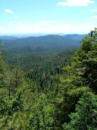
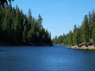
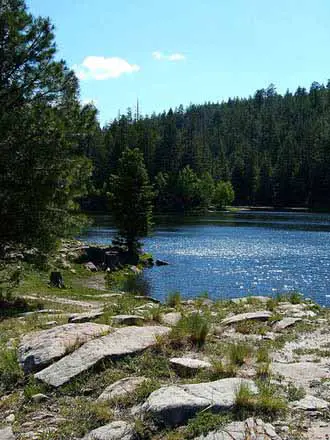
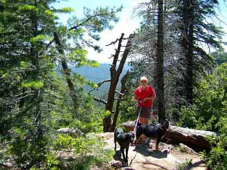
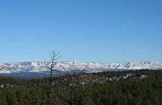
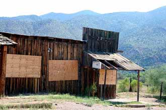
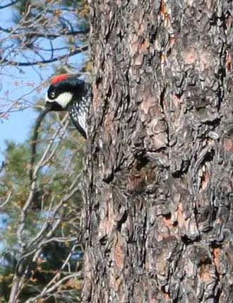
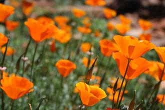
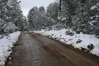
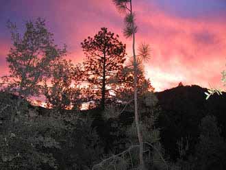
Gallery photographs are courtesy of photographers who permitted their use under the applicable Creative Commons License. Individual images remain subject to their respective licensing and attribution requirements.
Payson & Arizona Rim Country
Payson lies near the base of the Mogollon Rim in central Arizona and serves as a gateway to a broad high-country recreation region. Forests, creeks, mountain lakes, hiking trails and scenic roads surround the community, providing a dramatic contrast to the lower desert landscapes of the Phoenix metropolitan area.
The Mogollon Rim rises above Payson and extends across a large portion of central and northern Arizona. Higher elevations support extensive forest scenery and provide access to popular recreation areas throughout Rim Country.
Payson, Pine & Strawberry Arizona
Payson is the largest community and primary service center in Rim Country, while Pine and Strawberry provide smaller mountain-community settings north of town along State Route 87. Together, these communities offer a mix of forest scenery, historic sites, hiking, local dining and access to surrounding outdoor recreation.
Christopher Creek and the Mogollon Rim recreation areas east of Payson add another dimension to the region, with creeks, campgrounds, forest roads and access to mountain lakes.
Best Seasons For Payson & Rim Country Photography
- Spring: Mild weather, fresh vegetation and seasonal wildflowers can add color to forest and mountain landscapes.
- Summer: Green forests, lake recreation and dramatic monsoon clouds create varied photography opportunities.
- Fall: Cooler weather and changing foliage make Rim Country especially attractive for landscape photography.
- Winter: Occasional snow can transform Payson and higher Mogollon Rim elevations into distinctive winter scenes.
Plan A Visit To Payson & Rim Country
Payson is approximately 80 to 90 miles from the Phoenix metropolitan area and is reached primarily by State Route 87, also known as the Beeline Highway. State Route 260 provides access east toward Christopher Creek and Mogollon Rim recreation areas.
Visitors can combine photography with hiking, fishing, camping, scenic drives, lake recreation and visits to nearby communities. See the Payson Arizona Visitor Guide and Payson Area Map & Directions for additional trip-planning information.
Payson Arizona Pictures & Rim Country FAQ
Where Is Payson Arizona?
Payson is located in central Arizona in Gila County near the base of the Mogollon Rim.
What Is Arizona Rim Country?
Rim Country is the mountain and forest region surrounding Payson and the Mogollon Rim in central Arizona.
What Is Payson Arizona Known For?
Payson is known for mountain scenery, ponderosa pine forests, the Mogollon Rim, hiking, fishing, camping, lakes and cooler summer weather.
What Is The Elevation Of Payson Arizona?
Payson sits at approximately 5,000 feet elevation.
Where Is Strawberry Arizona?
Strawberry is a small Rim Country community north of Payson along the State Route 87 corridor near Pine.
Is The Mogollon Rim Near Payson?
Yes. Payson lies near the base of the Mogollon Rim and serves as a major gateway to its forests, lakes, campgrounds and scenic recreation areas.
What Is The Best Time To Photograph Payson?
Payson offers photography opportunities year-round, with spring vegetation, summer monsoon skies, fall color and occasional winter snow providing different seasonal scenery.
Are There Lakes Near Payson Arizona?
Yes. Popular Rim Country lakes include Woods Canyon Lake, Willow Springs Lake, Bear Canyon Lake, Knoll Lake and C.C. Cragin Reservoir.
How Far Is Payson From Phoenix?
Payson is approximately 80 to 90 miles from the Phoenix metropolitan area depending on the starting point.
What Else Can You Do Around Payson?
Popular activities include hiking, fishing, camping, kayaking, wildlife viewing, scenic driving and exploring nearby communities such as Pine, Strawberry and Christopher Creek.
More Payson & Rim Country Information
- Payson Arizona Visitor Guide
- Payson Area Map & Directions
- Strawberry Arizona
- Christopher Creek
- Payson Area Lakes
- Payson Weather
- Tonto Natural Bridge State Park
- Payson Cabin Rentals
- Payson Vacation Rentals
- Payson RV Campgrounds
Beautiful White Mountains In Arizona
White Mountains
Map & Directions
Little Colorado River
Weather & Climate
Alpine Arizona
Heber/Overgaard
Pinetop-Lakeside
Payson Arizona
About Show Low
Snowflake/Taylor
Springerville Arizona
Greer Arizona
Popular Area Lakes
Rainbow Lake
White Mountains Lakes
Big Lake
Hawley Lake
Show Low Lake
Crescent Lake
Woodland Lake
Luna Lake
Becker Lake
Fool Hollow Lake
Lyman Lake















